Accession record
- Accession no.
- CA-1996-softkey-clipart-1996-02564
- Description
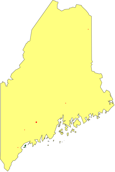
- The map shows a stylized representation of Maine with counties shaded to represent different levels of data such as population density, income level, education attainment, etc., but without specific labels for each color and no scale provided it's not possible to determine what those colors signify or the context in which this image is being used.
- Year
- 1996
- Era
- mid-90s
- Original file path
- PC_ART/WMF/STATEMAP/MAINE_2.WMF
- Dimensions
- 167 × 246 px