Consumer-graphics collection Est. 2026 · Vancouver

CLIPARCHIVE

A working museum of clip art, 1980s–early 2000s.

Now cataloguing·MS Office 97 · PCPaintbrush 1994 · Print Shop Deluxe 1995 · SoftKey Ultimate 1996·New acquisitions posted daily·All objects recovered from circulating media·The whole store is the show·

Open storage

47,484 objects on open display.

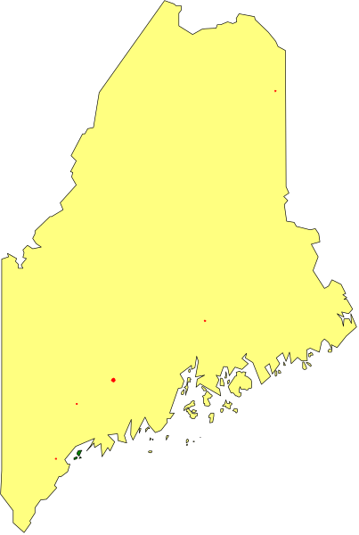
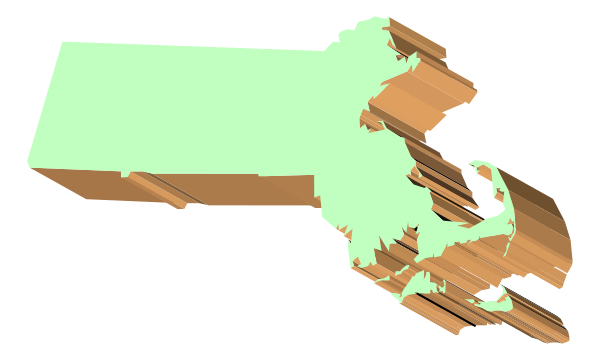
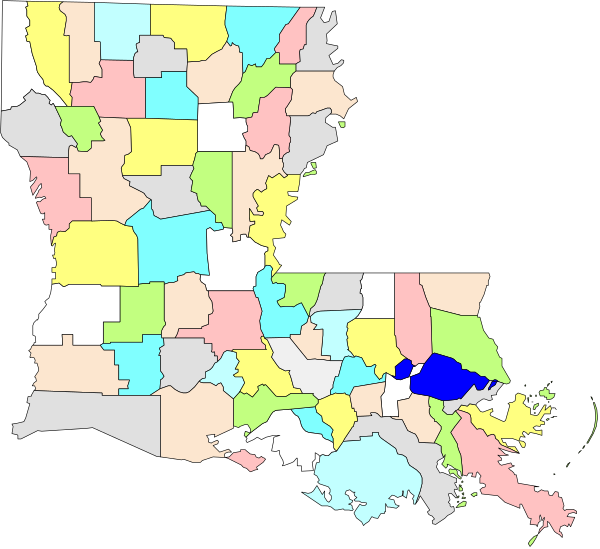
The image shows a yellow map of an area with state borders outlined by black lines against a gray background; it is presented in clip-art form within another graphic element that resembles paper taped to something, as indicated by two edges and creases suggesting folds or corners on the top left. CA-1996-softkey-clipart-1996-02499 The image shows a simple graphic of an open book with blank pages inside it against a plain background. CA-1996-softkey-clipart-1996-02500 The map shows a stylized representation of Alabama with various counties highlighted by different colored shapes on top of it. CA-1996-softkey-clipart-1996-02501 The map shows a stylized representation of Florida with various dots indicating locations across it; there is no text present in this image. CA-1996-softkey-clipart-1996-02502 The image shows a map of Florida with its shape outlined against a black background. CA-1996-softkey-clipart-1996-02503 The map shows a stylized representation of Maine with its counties highlighted by color blocks; it is overlaid on top of an image that appears to be from space showing Earth's atmosphere in shades of blue, green, and yellow. CA-1996-softkey-clipart-1996-02504 The image shows a stylized map of Massachusetts with an overlaid illustration that appears to be torn paper pieces creating jagged edges around parts of it. CA-1996-softkey-clipart-1996-02505 The map shows a stylized representation of New York State with various counties outlined by different colored borders; it is presented in an overlaid format on top of another image that appears to be from space, showing Earth's continents and oceans at nighttime. CA-1996-softkey-clipart-1996-02507 The image shows a green rectangle with torn edges on top of another rectangular shape that is partially obscured by it. CA-1996-softkey-clipart-1996-02509 The image shows a map of Washington state with various counties highlighted by different colored blocks on top of it. CA-1996-softkey-clipart-1996-02510 The image shows a map of Washington state with an overlaid piece that looks like it's been torn out from its original position in the shape of Alaska. CA-1996-softkey-clipart-1996-02512 The image shows a stylized map of an area with various colored regions representing different counties within it; there is no text present in this clip-art representation. CA-1996-softkey-clipart-1996-02513 The image shows a map of an area with various states outlined; it appears to be stylized as clip-art due to its simplistic design and lack of detail in coloring. CA-1996-softkey-clipart-1996-02514 The image shows a green rectangle with an irregular shape on its right side against a gray background. CA-1996-softkey-clipart-1996-02515 The image shows a stylized map of Indiana with various counties outlined by different colored borders against a black background. CA-1996-softkey-clipart-1996-02516 The image shows a stylized map of Indiana with an overlay that highlights areas where there is no data available for some metric being measured by red dots on top of it. CA-1996-softkey-clipart-1996-02517 The image shows a stylized map of Indiana with its outline filled in green coloring against an orange background that resembles folded paper texture; it is set within what appears to be a clip-art frame, possibly indicating travel destinations for "Road Trip USA." CA-1996-softkey-clipart-1996-02518 The image shows a stylized map of New York state with an overlay that appears to be satellite data points on it. CA-1996-softkey-clipart-1996-02520 The image shows a stylized map of New York state with an overlaid pixelated effect on it. CA-1996-softkey-clipart-1996-02521 The image shows a stylized map of Nevada with an exaggeratedly tall mountain range on its left side. CA-1996-softkey-clipart-1996-02522 The image shows two maps of a region with different color schemes: on top is an overlaid map showing various districts in shades of gray; below it is another version where each district has been colored differently, possibly to represent some form of data such as population density or demographics. CA-1996-softkey-clipart-1996-02523 The image shows a simple black and white representation of two rectangles with red dots inside them against an empty background. CA-1996-softkey-clipart-1996-02524 The image shows a simple graphic of an open book with blank pages on what appears to be a computer screen displaying it as part of another larger picture that includes other elements like text boxes and shapes in various shades, suggesting some sort of digital interface design concept or template for creating content within the context of storytelling. CA-1996-softkey-clipart-1996-02525 The map shows a stylized representation of New Jersey with various regions highlighted by different colored areas; it is presented as an overlay on top of another image that appears to be unrelated but includes parts of what looks like a cityscape and some text, which seems out-of-place in the context provided. CA-1996-softkey-clipart-1996-02526 The image shows a map of New York state with highlighted areas that appear to be regions affected by flooding due to Hurricane Sandy in 2013. There is no text present on this portion of the image, and it does not provide any additional context or information about specific locations within these highlighted zones. It's important to note that such images are often used for informational purposes related to natural disasters and their impact areas. The style appears to be a simple map overlay with color coding indicating affected regions rather than an artistic representation of the state itself. CA-1996-softkey-clipart-1996-02527 The image shows a stylized map of New York State with parts missing to create an abstract shape resembling a person's head in profile view. CA-1996-softkey-clipart-1996-02528 The map shows a state with counties outlined by different colored lines on it. CA-1996-softkey-clipart-1996-02529 The image shows a map of Alaska with an overlay that highlights certain areas using red dots. CA-1996-softkey-clipart-1996-02530 The image shows a stylized map of Alaska with an overlaid silhouette that appears to be a person standing on top of it in profile view from behind. CA-1996-softkey-clipart-1996-02531 The map shows a stylized representation of Nevada with various counties highlighted by different colored blocks within its borders. CA-1996-softkey-clipart-1996-02532 The image shows a stylized map of an area with various colored blocks representing different regions within it. CA-1996-softkey-clipart-1996-02534 The image shows a yellow object with black lines on it against a gray background. CA-1996-softkey-clipart-1996-02535 The image shows a green rectangle with jagged edges on top of another rectangular shape that appears to be brownish-orange in color; both shapes have an abstract design within them. CA-1996-softkey-clipart-1996-02536 The image shows a stylized map of an area with various colored regions labeled "North," "South," etc., indicating different counties within that region. CA-1996-softkey-clipart-1996-02537 The image shows a yellow sign with black text on it against an indistinct background that appears to be outdoors during daylight hours. CA-1996-softkey-clipart-1996-02538 The image shows a green piece of paper with brown edges on top of what appears to be an orange surface. CA-1996-softkey-clipart-1996-02539 The image shows a map of Virginia with an overlay that appears to be some sort of data visualization, possibly related to voting patterns in different counties based on color intensity; however, without more context it's difficult to provide specific details about what is being represented by each colored area or the significance of this particular representation. CA-1996-softkey-clipart-1996-02541 The image shows a map of an area with various geographical features such as rivers, mountains, valleys, and forests depicted in shades of green on a grey background. CA-1996-softkey-clipart-1996-02542 The image shows a stylized map of Washington state with an overlay that appears to be a piece of paper being torn off from it at one corner. CA-1996-softkey-clipart-1996-02543 The image shows a stylized map of Alabama with an outline that appears to be filled in green coloring. CA-1996-softkey-clipart-1996-02544 The image shows a stylized map of Washington state with an overlay that appears to be a yellow-green color gradient across it. CA-1996-softkey-clipart-1996-02546 The image shows a map of missouri with torn edges that resemble paper being ripped apart from its frame. CA-1996-softkey-clipart-1996-02547 The image shows a stylized map of minnesota with an exaggerated tear at its center where it appears to be ripped apart from another state that is partially visible on one side. CA-1996-softkey-clipart-1996-02548 The image shows a map of Alabama with an overlay that appears to be red dots on it. CA-1996-softkey-clipart-1996-02551 The map shows a state with various counties highlighted by different colored blocks within its borders; it is overlaid on an image of Alabama's shape in black outline against a grey background. CA-1996-softkey-clipart-1996-02552 The image shows a stylized map of Arizona with various colored blocks representing different areas within it. CA-1996-softkey-clipart-1996-02553 The map shows a stylized outline of minnesota with counties highlighted by red dots against a black background. CA-1996-softkey-clipart-1996-02554 The map shows a stylized representation of Michigan with its borders highlighted by yellow lines on top of an outline that appears to be from another state in red coloring. CA-1996-softkey-clipart-1996-02556 The image shows a stylized map of Michigan with its outline highlighted against a black background. CA-1996-softkey-clipart-1996-02557 The image shows a stylized map of Maine with an overlay that appears to be distorted by heat waves emanating from it. CA-1996-softkey-clipart-1996-02558 The image shows a stylized map of an area with distinct geographical features such as mountains and valleys depicted in shades of green against a darker background. CA-1996-softkey-clipart-1996-02560 The image shows a black silhouette of trees against an orange background with no other discernible details visible due to its small size. CA-1996-softkey-clipart-1996-02561 The image shows a map of New York State with various counties highlighted by different colored regions on top of it. CA-1996-softkey-clipart-1996-02562 The map shows a stylized representation of Maine with counties shaded to represent different levels of data such as population density, income level, education attainment, etc., but without specific labels for each color and no scale provided it's not possible to determine what those colors signify or the context in which this image is being used. CA-1996-softkey-clipart-1996-02564 The image shows a stylized map of Maine with an overlay that appears to be some sort of data visualization in yellow on top of it. CA-1996-softkey-clipart-1996-02565 The image shows a map of New York State with an overlay that appears to be distorting it into three dimensions along one axis. CA-1996-softkey-clipart-1996-02566 The map shows a state with counties highlighted by different colored markers on it. CA-1996-softkey-clipart-1996-02567 The image shows a stylized map of Louisiana with its borders depicted as broken pieces overlaid on top of it in shades of green and brown. CA-1996-softkey-clipart-1996-02569 The image shows a stylized map of Kentucky with an overlaid pixelated representation resembling a mountain range in green tones on top right corner against a grey background. CA-1996-softkey-clipart-1996-02570 The image shows a rectangular sign with rounded corners on top of an object that appears to be made from wood planks. CA-1996-softkey-clipart-1996-02571