- Accession no.
- CA-1996-mso97clipart-02584
- Description
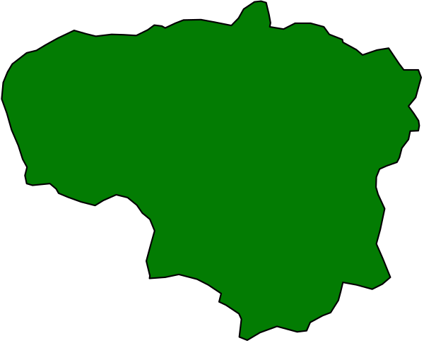
- The image shows a stylized map of Europe with green areas representing countries like France, Germany, Spain, Italy, Greece, Romania, Bulgaria, Serbia, Croatia, Slovenia, and parts of Austria, Hungary, Slovakia, Poland, Czech Republic, Belgium, the Netherlands, Luxembourg, Ireland, United Kingdom. The map is overlaid on a black background with white borders indicating country boundaries.
- Year
- 1996
- Era
- mid-90s
- Original file path
- Clipart/Powerpnt/lithuani.wmf
- Dimensions
- 1975 × 1600 px