Accession record
- Accession no.
- CA-1996-mso97clipart-02514
- Description
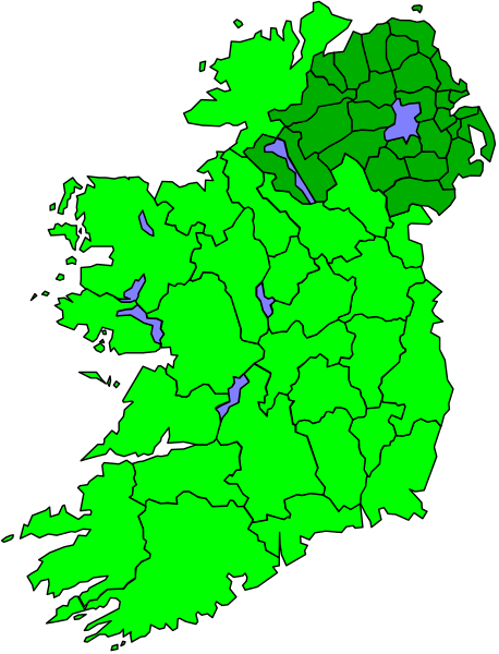
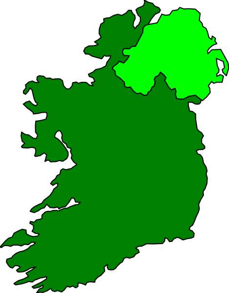
- The map shows Ireland with a color code indicating different levels of flooding risk: green for low to moderate flood risk, purple for high flood risk, blue for areas at significant risk from coastal storm surges, yellow and orange for severe weather events such as hurricanes or tornadoes, red for extreme heatwaves, white for cold waves.
- Year
- 1996
- Era
- mid-90s
- Original file path
- Clipart/Powerpnt/ireland2.wmf
- Dimensions
- 1222 × 1600 px