Consumer-graphics collection Est. 2026 · Vancouver

CLIPARCHIVE

A working museum of clip art, 1980s–early 2000s.

Now cataloguing·MS Office 97 · PCPaintbrush 1994 · Print Shop Deluxe 1995 · SoftKey Ultimate 1996·New acquisitions posted daily·All objects recovered from circulating media·The whole store is the show·

Accession record

CA-1994-pcpaintbrush-1994-02560

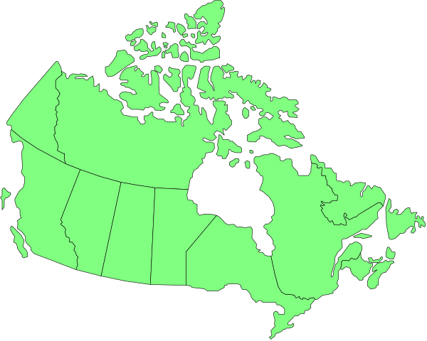
canada
Retrieved from storage.

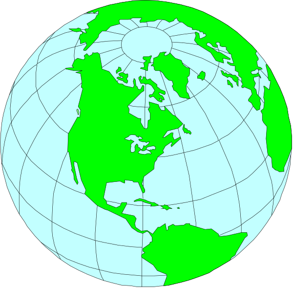
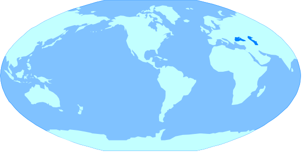
The map shows a stylized representation of Canada with provinces outlined; it is overlaid on top of an image that appears to be a satellite view of Earth at nighttime showing illuminated areas, possibly indicating population density and urban centers such as Toronto in Ontario province.

Downloads

PNG (full resolution) · SVG (vector)


Provenance

Also catalogued as

The same image circulated in multiple products. Each copy is catalogued; one is displayed.


Same aisle

Nearby on the shelf