Accession record
- Accession no.
- CA-1994-pcpaintbrush-1994-00317
- Description
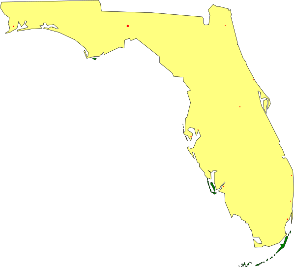
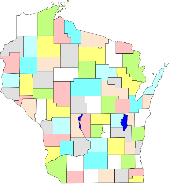
- The image shows a map of Florida with an overlay that appears to be satellite data indicating areas affected by flooding from Hurricane Irma in 2017. It is presented as a small clip-art graphic, likely used for educational purposes such as illustrating disaster relief efforts or the extent and impact of natural disasters on specific regions within Florida. The map itself shows various counties with different shades indicating varying levels of flooding severity; however, without more context it's not possible to identify any objects, people, animals, actions, or setting in this image beyond
- Year
- 1994
- Era
- mid-90s
- Original file path
- pc_art/wmf/statemap/fla.wmf
- Dimensions
- 1766 × 1600 px