- Accession no.
- CA-1994-pcpaintbrush-1994-00311
- Description
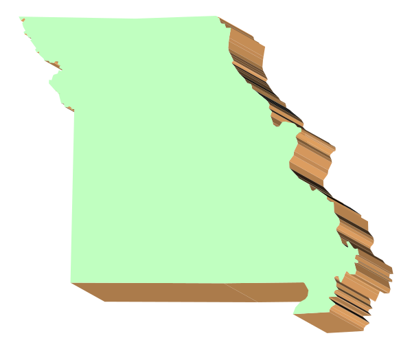
- The map shows a stylized representation of Michigan with its borders outlined against a black background; it is colored yellow to represent areas that have been affected by water damage from flooding events in 2019, and there's an overlay showing red dots indicating locations where floodwaters reached at least waist height. The map also includes the names of some cities within Michigan: Detroit, Grand Rapids, Lansing, Flint, Saginaw Bay, Traverse City, Marquette, Houghton Lake, and Mackinac Island are visible in white
- Year
- 1994
- Era
- mid-90s
- Original file path
- pc_art/wmf/statemap/mich.wmf
- Dimensions
- 1372 × 1600 px